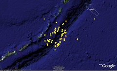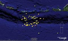


 Around 7:45PM
 And around 11:45PM


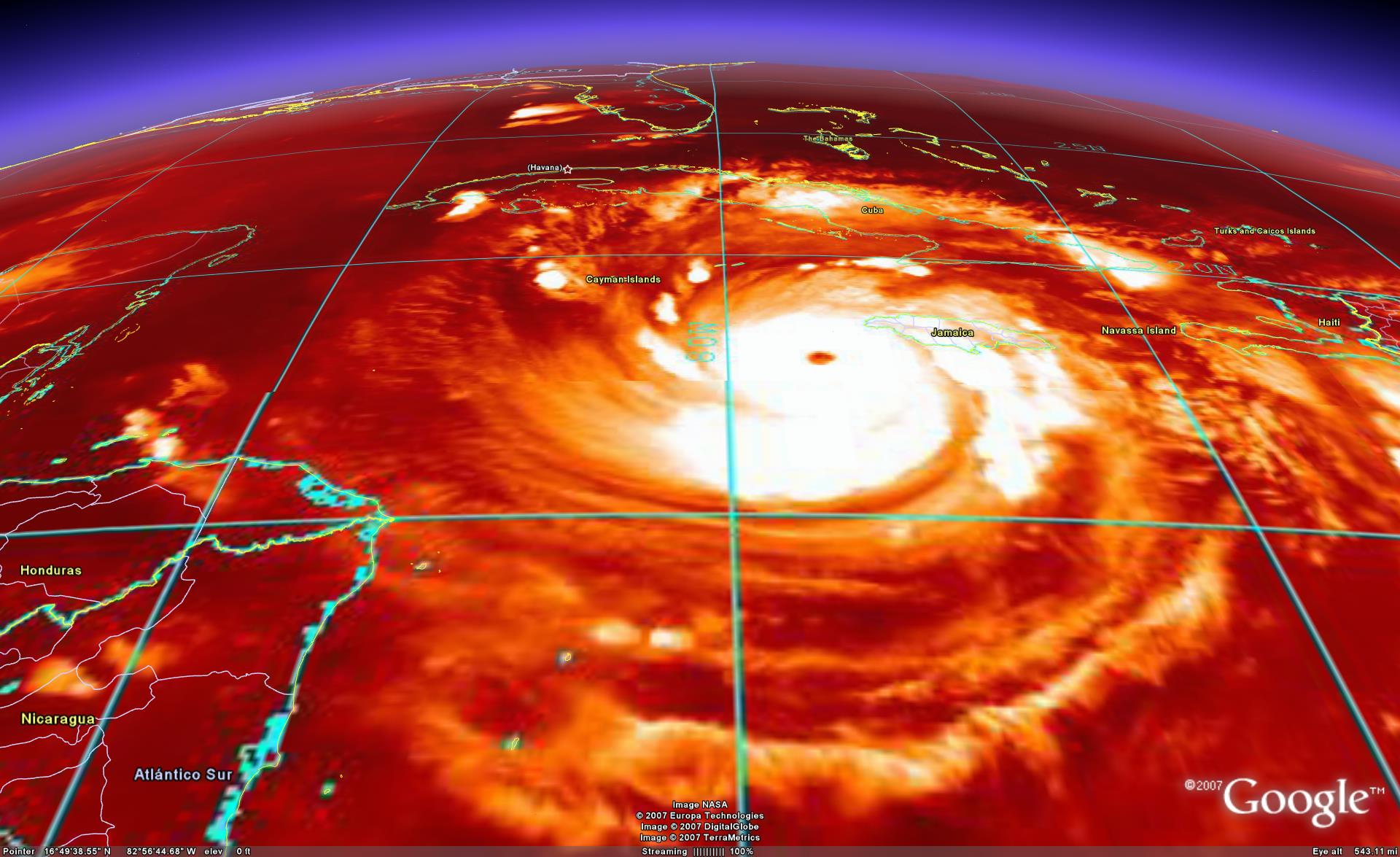
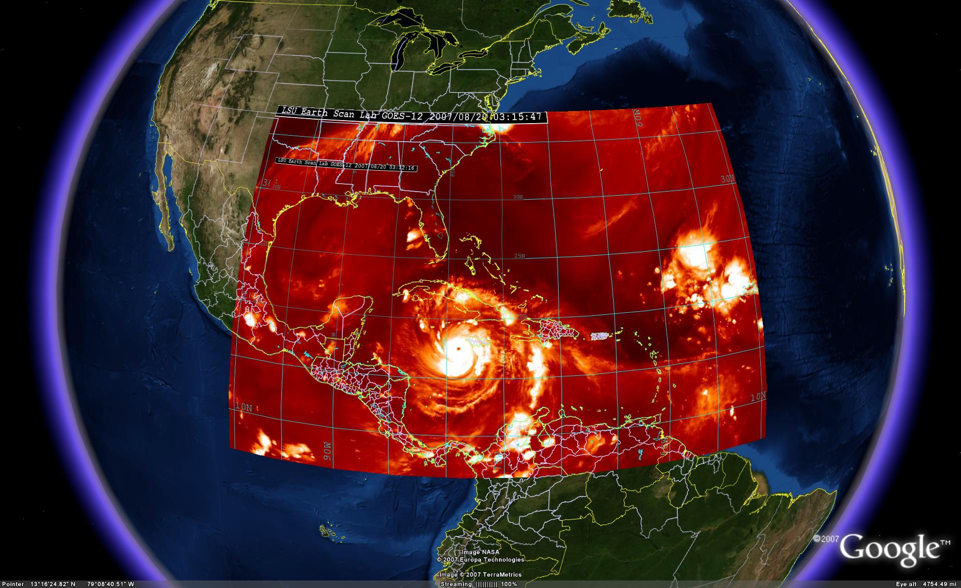
 Hurricane Dean


China's brown haze from a different angle.
Google Earth screenshot with NASA MODIS AQUA overlay.

China, what's with the giant brown cloud blowing off your coast?? yuck
Google Earth screenshot with NASA MODIS AQUA overlay.
At first it just looks like dust, but if you follow the haze west and zoom in, you start to see lots of little red squares all over the place... fires I guess...
 It is close to the end of summer in the northern hemisphere. Many kids are heading back to school after a summer break. For those of you who are educators and have thought, or heard, that Google Earth would make a good tool for geography lessons - let me suggest you look closer. Google Earth (GE) is not only a great tool for geography - it is a tool for tying all kinds of information to location. When you first load GE you have a wealth of information available at your fingertips. Thousands of aerial and satellite photos, dozens of layers of information: city names, country borders, airport locations, road maps, National Geographic content, volcanoes, and more. Since Google Earth is an intuitive and fun tool, I believe you could use it as a visualization and educational tool for almost any subject. Once students prepare their own content, GE can be used to present their work - or even share their work with the world.
Below you will find a sample of possible useful content in a variety of subjects such as geography, literature, science, history, and more. Basically, any information which can be tied to a location on Earth can be illustrated, and made interesting, using GE. Juicy Geography is a web site, by Noel Jenkins in the UK, designed to help teachers learn more about tools like GE for the classroom and suggests possible lessons.